Want to protect your property, increase its value, and reduce maintenance costs? Aerial photography is one of the smartest tools available.
Whether you’re a homeowner, property manager, or real estate investor, capturing monthly or quarterly aerial photos gives you a clear edge.
Here’s why aerial imaging belongs in your property maintenance and marketing strategy.
1. Track Property Changes Over Time
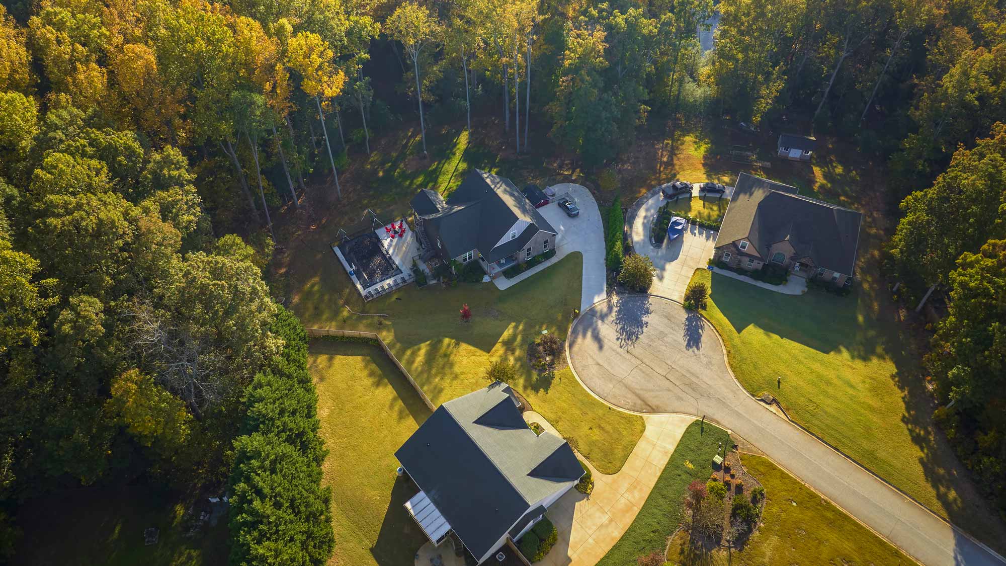
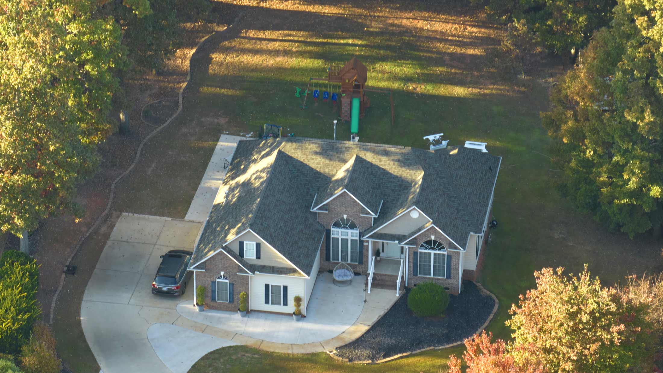
Drone photography gives you a high-level view of your entire property.
From landscaping updates to roof repairs, regular aerial photos show visible progress over time. These images create a visual timeline of improvements, helping you track your investment and document upgrades.
2. Catch Problems Before They Get Expensive
Aerial views reveal issues that ground-level photos miss.
You can spot drainage problems, roof damage, erosion, or tree overgrowth before they become costly repairs. Early detection means faster fixes and fewer surprise expenses.
3. Enhance Insurance and Appraisal Documentation
Accurate visual records of your property condition matter.
Drone photos provide timestamped evidence for insurance claims or property appraisals. High-quality aerial images strengthen your case when proving existing conditions or recent upgrades.
4. Boost Property Value and Market Appeal
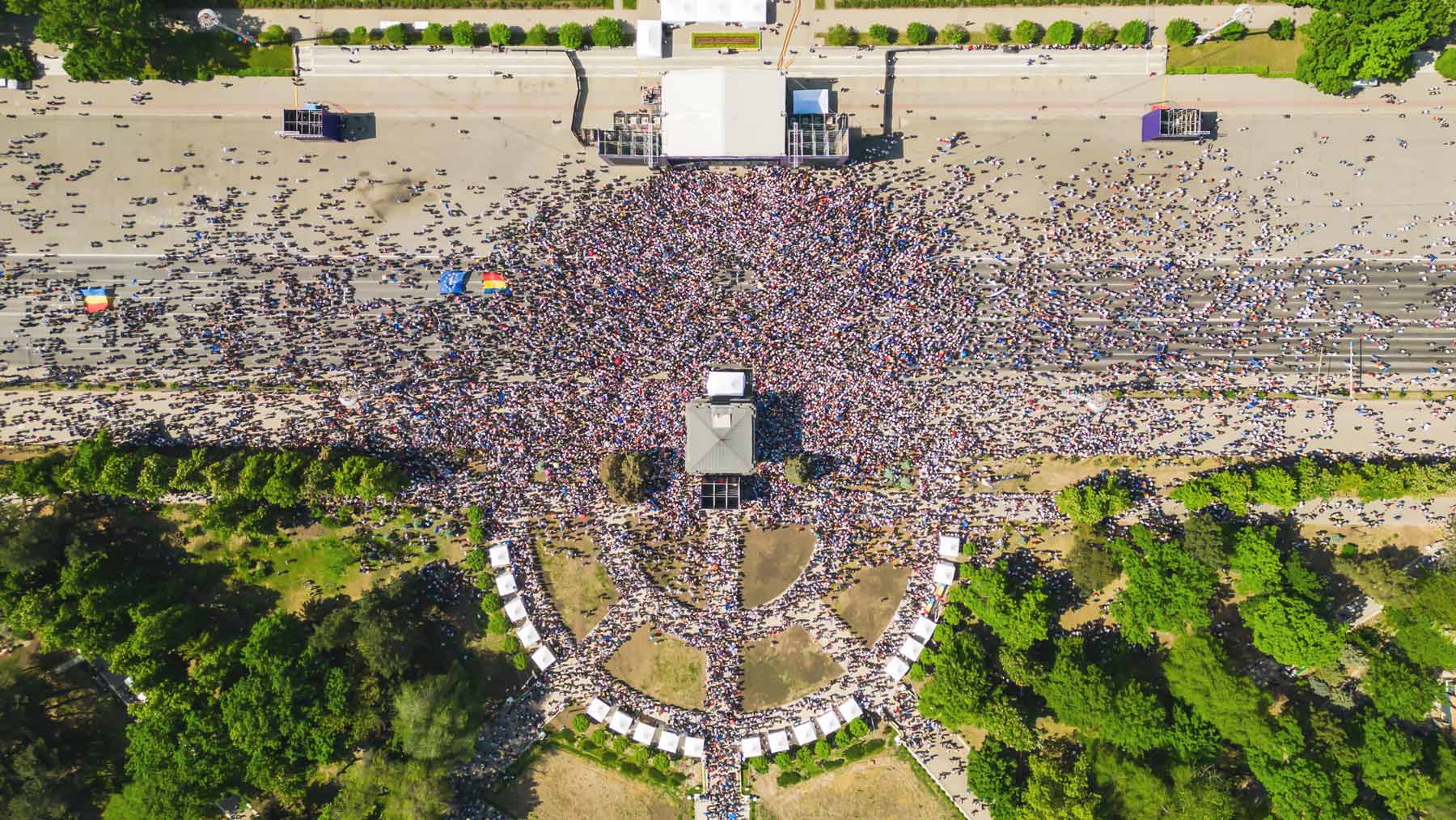
Listing a property for sale or rent? Aerial photos create instant visual impact.
Showcase your land, layout, outbuildings, and landscaping from a stunning top-down view. Homes and properties with drone photos attract more attention and sell faster.
5. Plan Projects with Greater Accuracy
Thinking about installing a pool, adding a driveway, or fencing a section of land?
Aerial images offer perspective. You get a better sense of space, scale, and layout. That helps with decision-making and ensures smarter planning for your next upgrade.
6. Create a Seasonal Archive
Over time, you build a living visual record of your property.
This is useful for agricultural planning, landscape management, or simply seeing how your land evolves across seasons. Aerial time-lapses create powerful, visual storytelling tools.
How to Get Started
Use a drone like the DJI Mini 4 Pro with a smartphone controller for easy monthly flyovers.
Or hire a professional drone service for scheduled captures. Many companies offer affordable monthly or quarterly packages tailored for residential and commercial properties.
Final Thought
Aerial photography isn’t just for real estate listings or construction firms anymore.
It’s a smart, data-driven tool for anyone serious about managing property efficiently. With regular drone photos, you see more, plan better, and protect your investment.
Interested in scheduling recurring aerial photos for your property?
Let’s talk. Reach out today to explore a custom drone imaging package that fits your goals.